Point One Navigation launches Polaris™ RTK in South Korea

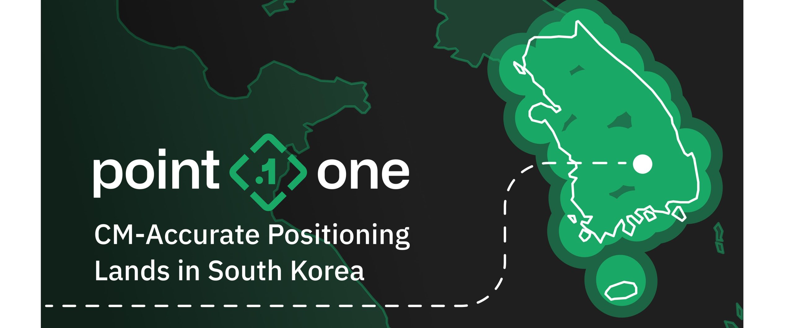
SAN FRANCISCO, California — Point One Navigation announced that their Polaris™ Real-Time Kinematic (RTK) location network is now available in South Korea. The network is available to deliver centimeter-accurate location services to businesses and application developers. They seek pinpoint location data for their projects in the region.
Polaris™ RTK is a high-precision positioning system that utilizes real-time corrections to enhance the accuracy of location data. This is especially effective in dynamic and challenging environments. Moreover, with applications ranging from autonomous vehicles to agriculture and construction, Polaris™ RTK ensures centimeter-level accuracy, surpassing traditional GPS capabilities.
The Polaris™ network will provide comprehensive coverage throughout S. Korea. Existing Polaris customers are able to utilize the S. Korea integration immediately.
Polaris: Centimeter-Accurate GNSS
Point One’s Polaris™ is an RTK corrections network that enables centimeter-level accurate GNSS positioning. Furthermore, Polaris™ system delivers accuracy from 10 cm to 1 cm, even in challenging environments like urban canyons and occluded sky-views. Standard GNSS systems observe position uncertainty from sources such as atmospheric signal delay, satellite orbit variation, clock drift, and signal multipath. Moreover, Polaris™ network uses additional sources of information from compact base stations, greatly reducing position uncertainty.
Point One Nav FusionEngine software further integrates inertial measurement, wheel odometry and additional sensors to achieve the desired level of precision in the complete absence of satellite signals.
The Polaris™ network, with FusionEngine software, delivers cost-effective precision location services for autonomy and robotics applications. Polaris™ also supports all major GNSS constellations and has an extremely dense global network of base stations that cover the United States, Europe, New Zealand, S. Korea, and parts of Canada, Australia. Furthermore, the network supports all modern navigation signals, maximizing compatibility and performance with all devices.
GraphQL-based API
Developers can integrate the Polaris™ RTK network and FusionEngine software using the robust and standardized GraphQL API.
It now takes only a few minutes to integrate Polaris RTK into developer-built applications with the robust GraphQL API. The Polaris™ RTK network can be built into demanding applications, including Industrial Autonomy, Precision Agriculture, Logistics and Delivery, Robots and ADAS.


